Landscaping

About Landscaping
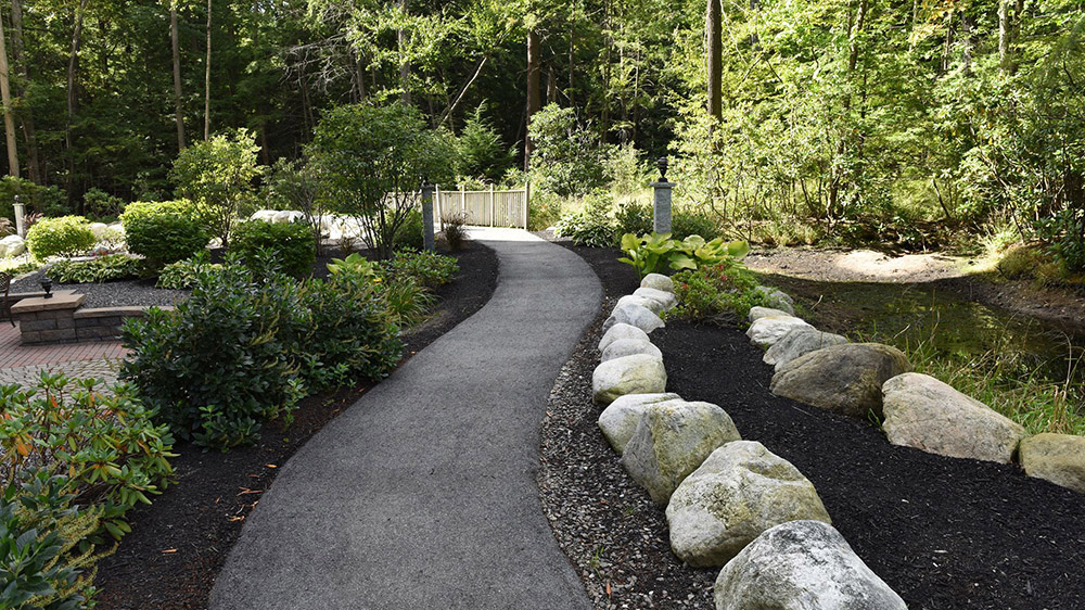
Landscaping refers to any activity that modifies the visible features of an area of land, including:living elements, such as flora or fauna; or what is commonly called gardening, the art and craft of growing plants with a goal of creating a beauty within the landscape, natural elements such as landforms, terrain shape and elevation, or bodies of water; and bstract elements such as the weather and lighting conditions.Landscaping requires expertise in horticulture and artistic design.
A landscape is the visible features of an area of land, its landforms, and how they integrate with natural or man-made features.A landscape includes the physical elements of geophysically defined landforms such as (ice-capped) mountains, hills, water bodies such as rivers, lakes, ponds and the sea, living elements of land cover including indigenous vegetation, human elements including different forms of land use, buildings, and structures, and transitory elements such as lighting and weather conditions. Combining both their physical origins and the cultural overlay of human presence, often created over millennia, landscapes reflect a living synthesis of people and place that is vital to local and national identity.
The character of a landscape helps define the self-image of the people who inhabit it and a sense of place that differentiates one region from other regions. It is the dynamic backdrop to people's lives. Landscape can be as varied as farmland, a landscape park or wilderness. The Earth has a vast range of landscapes, including the icy landscapes of polar regions, mountainous landscapes, vast arid desert landscapes, islands, and coastal landscapes, densely forested or wooded landscapes including past boreal forests and tropical rainforests, and agricultural landscapes of temperate and tropical regions. The activity of modifying the visible features of an area of land is referred to as landscaping.
Landscape architects use various technologies in their work. For example, using CADD software, landscape architects prepare models of their proposed work. They present these models to clients for feedback and then prepare the final look of the project. Many landscape architects also use Geographic Information Systems (GIS) which offer GPS coordinates of different geographical features. This helps landscape architects design different environments by providing clues on where to start planning and how to anticipate future effects of the landscape, such as rainfall running into a valley.

